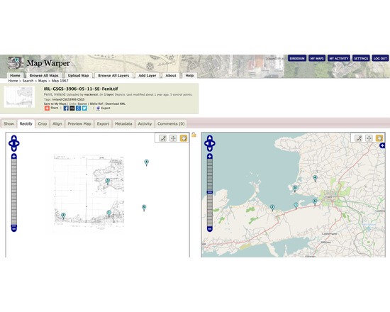
MapWarper
Map Warper is a tool for digitally aligning ("rectifying") historical maps to match today's precise maps. It is used publicly by the NYPL to crowdsource georectification of their own library of digitised historical maps.
In the wider version developed by Tim Waters user supplied maps can be georectified for subsequent use in your own mapping projects.
Attributes
- Web Usable: Run in Browser
- TaDiRAH Methods: Conversion
List this tool appear on
Rating
Suggested Tools
Comments
MapWarper was used in these resaerch abstracts https://dh2018.adho.org/en/digital-humanities-in-latin-american-studies-cybercultures-initiative/
https://dh2016.adho.org/abstracts/39