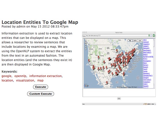
SEASR's Location Entities To Google Map is a tool for extracting locations from a text that can be displayed on a map. It uses OpenNLP to extract the entities, and then displays both the sentences and the locations in Google Maps.
The page for this tool on SEASR's website is no longer active. However, it can still be viewed via the Internet Archive.
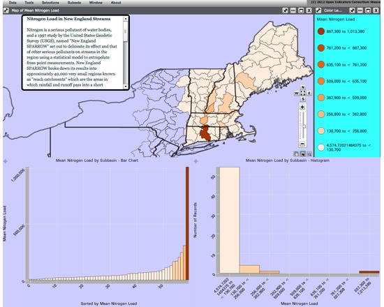
WEAVE (Web-based Analysis and Visualization Environment) is a web-based visualization platform offered by the Institute for Visualization and Perception Research at the University of Massachusetts Lowell. It is designed to visualize any data for any purpose, and to accommodate novice and advanced users alike. It includes the ability to integrate, disseminate and visualize data at nested levels of geography. WEAVE is currently in beta. Both a web-based demo and a download version are available.
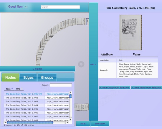
NewRadial is an interactive visualization environment from the INKE team. It is designed to permit search, sorting and manipulation of database objects, commentary on connections and associations between database objects, and offer a place for large edition projects to create curated environments, browse them and encourage secondary scholarship on them. A web version is available with a number of databases for exploration, including the Canturbury Tales, Shakespeare quartos and selected novels and poetry.

TravelTime Maps make it possible to create isochrones (travel time areas) on a map by selecting a start point, the maximum travel time and preferred transport mode. For example users can visualise all locations within 15 minutes drive time from their current location. It also uses walking, cycling and public transport times. It' also possible to download a CSV of all postcodes that fall within this area on request or export to a KML.

Unlock Text is a powerful geoparser that can search text hosted on the web in txt or html format for references to locations. These locations are then returned ready for use in your results page, web map or any other application.
The Unlock Text API provides access to two parsers, the Edinburgh Geoparser from the Edinburgh Language Technology Group and the CLAVIN parser.
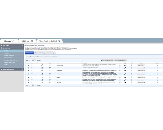
HEURIST (http://HeuristNetwork.org) is an extremely flexible, end-user oriented, web-based data management system designed specifically for Humanities data. Developed since 2005, it has been in active use across many projects since 2009. It is available both as a free web service for researchers (hosted at the University of Sydney Data Centre) or for installation on a physical or virtual server (Open Source on gitHub).
Researchers can design, create, manage, analyse, visualise and publish their own richly-structured database(s) through a simple web interface, without the need for programmer(s). Quite complex databases can be built in a few hours by borrowing structures and vocabularies published by other users. Databases can be designed and built incrementally, as existing data are not affected by changes in structure. Databases created by Heurist are stored in MySQL with a repeatable structure facilitating sustainability and independent access by other software.
Advanced features include record linking, graph structure, drill-down facet searches, rule-based queries, custom reports, linked map-timelines, network visualisation, normalised spreadsheet import, crosstabulation, XML feeds, XSLT transforms. The team provides initial email and skype assistance for project setup at no cost, and special customisations at modest cost.
Heurist is applicable in many domains including History, Archaeology, Anthropology, Cultural Research, Linguistics, Media Studies etc. It handles everything from text, tags and categories, through networks of rich relationships and offset annotations, to images, video, spatial data and dating (including non-western systems and dating uncertainty).
Sophisticated searches (including faceted and rule-based) can be saved, organised and rendered as layered interactive maps, timelines, network visualisations, crosstabulations, lists, custom reports, XML and XSLT transforms, all of which can easily be printed or embedded (live) in a website - Heurist provides the html code required to embed results in a web page or CMS.
Databases can easily be migrated later to a personal or institutional server. Since the data are stored in a standard MySQL database with a fixed and well-documented structure, the data can be accessed directly via SQL from most programming languages independently of Heurist.
Version 4.2 (Jan 2016 onwards) is available as a service via the Heurist website. Version 4 delivers a user-customisable interface of widgets, along with better mapping and visualisation. Existing version 3 databases are bidirectionally compatible with version 4.
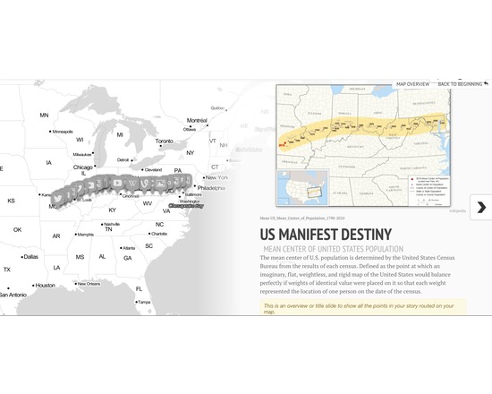
StoryMapJS is a project by KnightLab which aims to help journalists and historians tell stories by using maps using a straight-forward and simple authoring tool. It is constructed around a framework of highlighting the locations of a series of events. As an editing tool, it is relatively intuitive and easy to use.
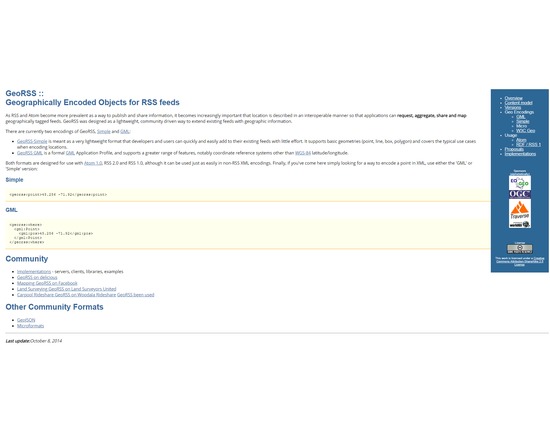
Geographically Encoded Objects for RSS feeds. GeoRSS was designed as a lightweight, community driven way to extend existing feeds with geographic information.
As RSS and Atom become more prevalent as a way to publish and share information, it becomes increasingly important that location is described in an interoperable manner so that applications can request, aggregate, share and map geographically tagged feeds.RSS Map of Digital Humanities centers
Two primary GeoRSS encoding exist, including GeoRSS Geography Markup Language (GML) and GeoRSS Simple. GeoRSS-Simple is a lightweight format that supports basic geometries of point, line, box, polygon. GeoRSS GML is a Open Geospatial Consortium (OGC) GML Application Profile, and supports a greater range of features than GeoRSS Simple.
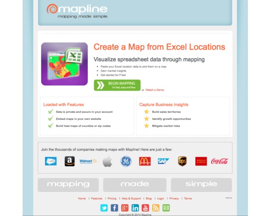
Mapline (previously Topo.ly) is a free and paid online service for capturing and geocoding spatial data from spreadsheets and creating point, territory and heat maps. It is free for limited use (quite generous) and paid when you need to map significant (we are talking substantial) datasets. It's intuitive, easy to use and produces high quality interactive maps. Free service has only minimal map customization options and does not include the visual analysis that is included with the fee options.
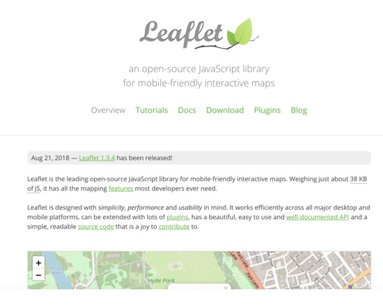
This JavaScript library can be used to create mobile-friendly interactive maps. It does not provide data to map, but can be used to map spatial data in GeoJSON format, or display tiles from other sources such as MapBox.