GeoNames
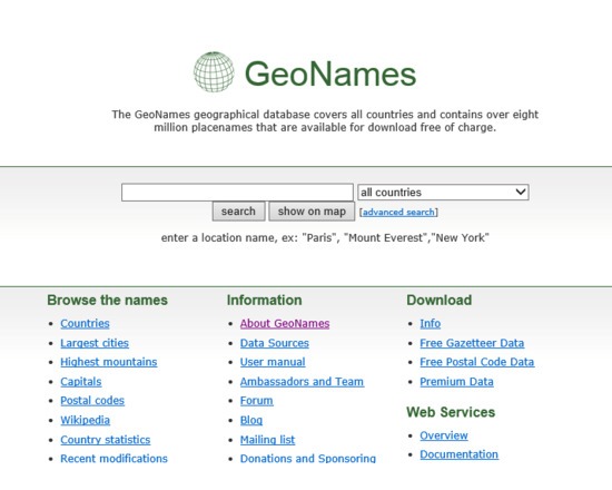
A global geographical database that may be used to identify and tag all references to location. The database contains over 8 million entries, each of which possesses a geographic name (in various languages), latitude, longitude, elevation, population, administrative subdivision and postal codes and information on unique features.
Features:
Built upon web service, enabling transparent look-up and use of content through third-party tools and sites
Browse by geographic location, country name, size of geographic region and other categories.
Full text search support
Extensible, enabling users to expand existing information or contribute new content
Support for the World Geodetic System 1984 (WGS84) co-ordinate system
Attributes
- Web Usable: Other
- TaDiRAH Methods: Discovering
List this tool appear on
Rating
Suggested Tools
Comments
GeoNames was used in this research abstract https://dh2018.adho.org/en/combining-string-matching-and-cost-minimization-algorithms-for-automatically-geocoding-tabular-itineraries/
https://dh2017.adho.org/abstracts/147/147.pdf