OpenLayers
- Last Updated: 9/27/2018 12:00:00 AM
- Site: https://openlayers.org/
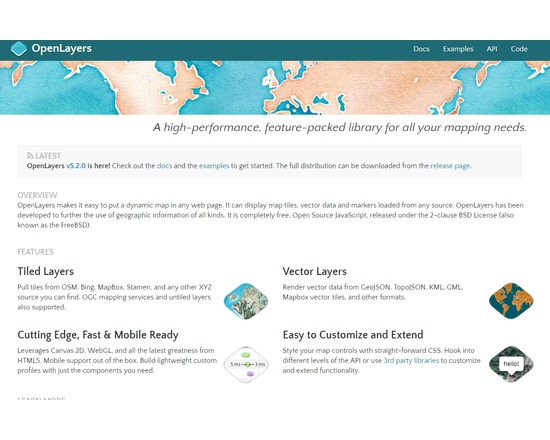
OpenLayers is a Javascript library that can display map tiles and markers loaded from any source in web browser. It provides an API for building rich web-based geographic applications. OpenLayers makes it easy to put a dynamic map in any web page. It can display map tiles, vector data and markers loaded from any source. OpenLayers has been developed to further the use of geographic information of all kinds. It is completely free, Open Source JavaScript, released under the 2-clause BSD License (also known as the FreeBSD).
Documentation
Attributes
- Type of analysis: Visualization Web development
- Type of license: Open Source
- Web Usable: Run in Browser
- TaDiRAH Methods: Visualization Web development
List this tool appear on
Rating
Suggested Tools
Comments
OpenLayers was used in this research abstract available in XML format https://raw.githubusercontent.com/lehkost/ToolXtractor/master/data/xml/2019/CHUANG_Tyng_Ruey_Maps_Re_imagined__Digital__Informational__a.xml