Features:
- C, shell scripting (sh), AWK, and sed
- Powerful text processing facilities
- Flexibility and adaptability
-Support for multiple programming paradigms
-Reference counting memory management
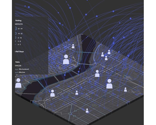
ArcGIS is a suite of software that comprises of Desktop GIS, Server GIS, Mobile GIS, and ArcGIS Online. ArcGIS is a platform for building a complete geographic information system (GIS) that lets you easily create, edit, and analyse geographic knowledge on the desktop; publish data, maps, globes and models to a GIS server and/or share them online; and use them on the desktop, on the Web, or in the field.
Features:
View and query maps
Manipulate shapefiles and geodatabases
Data manipulation, editing and analysis
Mobile device enabled
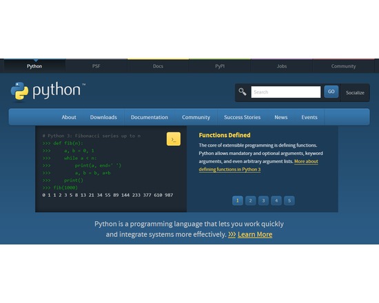
A general-purpose high-level programming language that places an emphasis upon code readability. Python supports a number of development models, including object oriented, imperative, and functional design. It provides automatic memory management and a fully dynamic type system.
Features:
Very clear, readable syntax
Strong introspection capabilities
Intuitive object orientation
Natural expression of procedural code
Full modularity, supporting hierarchical packages
Exception-based error handling
Very high level dynamic data types
Extensive standard libraries and third party modules for virtually every task
Extensions and modules easily written in C, C++ (or Java for Jython, or .NET languages for IronPython)
Embeddable within applications as a scripting interface