ArcGIS
- Last Updated: 9/27/2018 12:00:00 AM
- Site: https://www.esri.com/zh-cn/arcgis/products/arcgis-online/overview
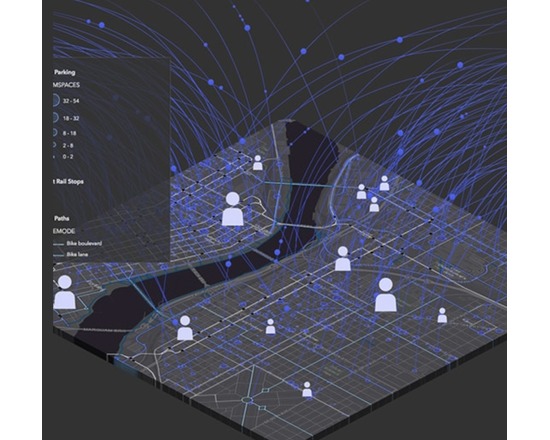
ArcGIS is a suite of software that comprises of Desktop GIS, Server GIS, Mobile GIS, and ArcGIS Online. ArcGIS is a platform for building a complete geographic information system (GIS) that lets you easily create, edit, and analyse geographic knowledge on the desktop; publish data, maps, globes and models to a GIS server and/or share them online; and use them on the desktop, on the Web, or in the field.
Features:
View and query maps
Manipulate shapefiles and geodatabases
Data manipulation, editing and analysis
Mobile device enabled
Documentation
Attributes
- Type of analysis: Visualization Publishing
- Type of license: Closed Source
- Web Usable: Other
- TaDiRAH Methods: Publishing Spatial Analysis Visualization
List this tool appear on
Rating
Suggested Tools
Comments
ArcGIS was mentioned in these research abstracts https://dh2016.adho.org/abstracts/168, https://dh2017.adho.org/abstracts/349/349.pdf