The amount of online data annotated with geospatial and temporal metadata has grown rapidly in the recent years. Providers like Flickr and Twitter are popular, but hard to browse. Many systems exist that, in multiple linked views, show the data under geospatial, temporal, and topical aspects. GeoTemCo is a web-application which easily can be utilized to visualize such kind of data, and furthermore, it allows the comparative analysis of several datasets. GeoTemCo consists of several views showing the datas' several dimensions: a map view for the geospatial distribution of items, a time view for the temporal distribution of items and a detail view for the inspection of individual items. A broad range of interaction abilities allows for explorative comparison and analysis of different datasets representing different topics.
GeoTemCo focuses on supporting the user to:
- analyze and compare temporal trends
- analyze and compare geospatial distributions
- detect cooccurences between data items of different datasets
- compare geospatial migrations of topics over time
- find causalities between different datasets
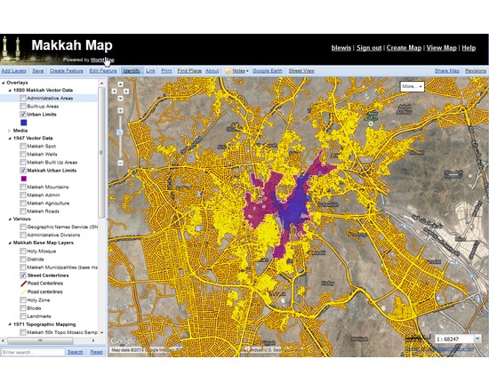
WorldMap is a web-based map collaboration platform hosted at Harvard, which allows anyone to store, organize, visualize, edit, collaborate, and publish geospatial information. Upload your own map layers or use maps others have contributed.
The system attempts to fill the growing gap between powerful desktop-bound mapping applications, and lightweight web map solutions with limited storage capacity.
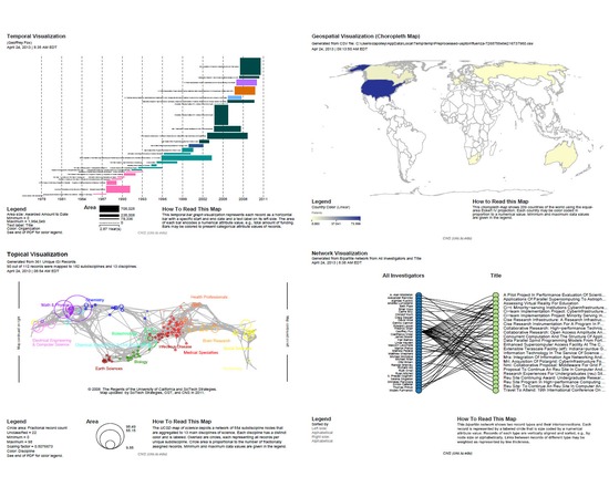
The Science of Science (Sci2) Tool is a modular toolset supporting temporal, geospatial, topical, and network analysis and visualization of datasets at the micro (individual), meso (local), and macro (global) levels. Users of the tool can:
Access science datasets online or load their own
Perform different types of analysis with the most effective algorithms available
Use different visualizations to interactively explore and understand specific datasets
Share datasets and algorithms across scientific boundaries
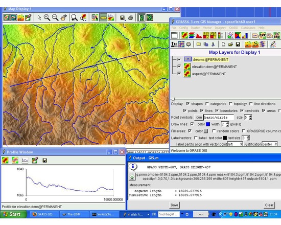
GRASS GIS is free and open source software used for geospatial data management and analysis, image processing, graphics/maps production, spatial modeling, and visualization. GRASS is currently used in academic and commercial settings around the world, as well as by many governmental agencies and environmental consulting companies.
Comparison to QGIS: Like GRASS, QGIS is free, open source, developed by volunteers, and has a robust and active online user community. However, GRASS is mainly used for highly technical purposes and mathematical analyses. For more details, see this Stack Exchange thread. QGIS and GRASS do cooperate with each other; Plug-ins and extensions allow GRASS functions to be used inside QGIS.
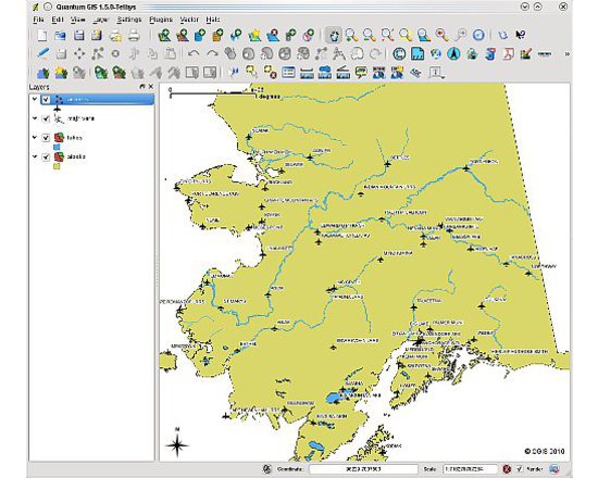
QGIS is a user-friendly Open Source Geographic Information System (GIS) licensed under the GNU General Public License. QGIS is an official project of the Open Source Geospatial Foundation (OSGeo). It runs on Linux, Unix, Mac OSX, Windows and Android and supports numerous vector, raster, and database formats and functionalities.
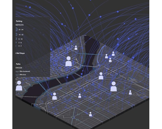
ArcGIS is a suite of software that comprises of Desktop GIS, Server GIS, Mobile GIS, and ArcGIS Online. ArcGIS is a platform for building a complete geographic information system (GIS) that lets you easily create, edit, and analyse geographic knowledge on the desktop; publish data, maps, globes and models to a GIS server and/or share them online; and use them on the desktop, on the Web, or in the field.
Features:
View and query maps
Manipulate shapefiles and geodatabases
Data manipulation, editing and analysis
Mobile device enabled

RivEX is a GIS tool designed to process vector river networks. It enables the user to undertake a range of tasks associated with the spatial analysis of river networks, including checking the network for topological errors, converting a network to a measured network and generating regular or random sampling points across the network.
RivEX is an ESRI AddIn and has been developed to run on ArcGIS 10.2.1. It is not compatible with earlier versions of ArcGIS. There is a cost associated with the software, though this has been discounted for academic use. If you purchase this tool, you will receive all future upgrades free of charge for the current major release.
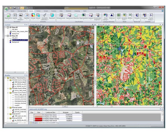
ERDAS Imagine is a suite of geospatial data authoring software. The suite contains a raster graphics editor and remote sensing application that performs advanced remote sensing analysis and spatial modelling to create new information. ERDAS IMAGINE can also visualize results in 2D, 3D, video, and on cartographic quality map compositions. It is primarily designed for geospatial raster data processing and the creation of digital images for mapping use in GIS or CAD software.
Features:
Image Analysis, Remote Sensing
Parallel Batch Processing
Spatial Modeling
High Performance Mosaicking Engine in IMAGINE Advantage
Expanded Change Detection Tools (with Zonal Change Detection)
ERDAS ER Mapper Algorithms
Converts over 190 Image Formats to all Major File Formats, including GeoTIFF, NITF, CADRG, JPEG, JPEG2000, ECW and MrSID
Implements Comprehensive OGC Web Processing Service (WPS), Web Coverage Service (WCS), Web Mapping Service (WMS) and Catalog Services for the Web (CS-W)