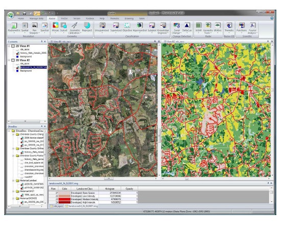
ERDAS Imagine
ERDAS Imagine is a suite of geospatial data authoring software. The suite contains a raster graphics editor and remote sensing application that performs advanced remote sensing analysis and spatial modelling to create new information. ERDAS IMAGINE can also visualize results in 2D, 3D, video, and on cartographic quality map compositions. It is primarily designed for geospatial raster data processing and the creation of digital images for mapping use in GIS or CAD software.
Features:
Image Analysis, Remote Sensing
Parallel Batch Processing
Spatial Modeling
High Performance Mosaicking Engine in IMAGINE Advantage
Expanded Change Detection Tools (with Zonal Change Detection)
ERDAS ER Mapper Algorithms
Converts over 190 Image Formats to all Major File Formats, including GeoTIFF, NITF, CADRG, JPEG, JPEG2000, ECW and MrSID
Implements Comprehensive OGC Web Processing Service (WPS), Web Coverage Service (WCS), Web Mapping Service (WMS) and Catalog Services for the Web (CS-W)
- Type of license: Closed Source
- Web Usable: Other
- TaDiRAH Methods: Imaging Spatial Analysis
Comments