GRASS GIS
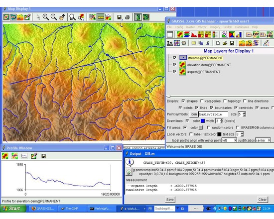
GRASS GIS is free and open source software used for geospatial data management and analysis, image processing, graphics/maps production, spatial modeling, and visualization. GRASS is currently used in academic and commercial settings around the world, as well as by many governmental agencies and environmental consulting companies.
Comparison to QGIS: Like GRASS, QGIS is free, open source, developed by volunteers, and has a robust and active online user community. However, GRASS is mainly used for highly technical purposes and mathematical analyses. For more details, see this Stack Exchange thread. QGIS and GRASS do cooperate with each other; Plug-ins and extensions allow GRASS functions to be used inside QGIS.
Documentation
Attributes
- Type of analysis: Modeling
- Type of license: Open Source
- Web Usable: Other
- TaDiRAH Methods: Modeling Network Analysis Other (creation) Spatial Analysis
List this tool appear on
Rating
Suggested Tools
Comments