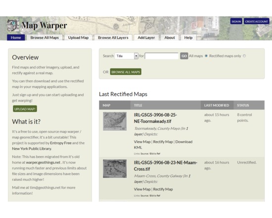
Map Warper
- Last Updated: 10/5/2018 12:00:00 AM
- Site: https://mapwarper.net/
This is an open source platform for georectifying scanned images of maps, so that they can be displayed in web maps or used in GIS applications. It could be particularly useful for creating map overlays for Google Earth or similar applications, without using specialized desktop software. Map images must first be uploaded and made publicly available, and then by aligning with Open Street Map reference data, the maps are warped into georeferenced images. Georectified images are downloadable as GeoTIFF, PNG, or KML files, along with map tiles or WMS capabilities.
The same platform was used for NYPL Map Warper and WorldMap Warp.
Documentation
Creator(s): Tim Waters
Creator's Site: http://thinkwhere.wordpress.com
Creator's Email: tim@geothings.net
Repository: https://github.com/timwaters/mapwarper
Attributes
- Type of analysis: Annotating
- Type of license: Free Open Source
- Web Usable: Run in Browser
- TaDiRAH Methods: Annotating
List this tool appear on
Rating
Suggested Tools
Comments
MapWarper was used in these resaerch abstracts https://dh2018.adho.org/en/digital-humanities-in-latin-american-studies-cybercultures-initiative/
https://dh2016.adho.org/abstracts/39